
Thank you for supporting this site ❤️
Make a donation
Make a donation
Öjan topographic map
Click on the map to display elevation.
Thank you for supporting this site ❤️
Make a donation
Make a donation
About this map
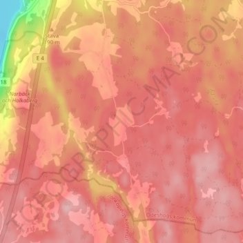
Name: Öjan topographic map, elevation, terrain.
Location: Öjan, Ödeshög, Ödeshögs kommun, Östergötlands län, Sverige (58.09500 14.56972 58.13500 14.60972)
Average elevation: 199 m
Minimum elevation: 87 m
Maximum elevation: 233 m
Thank you for supporting this site ❤️
Make a donation
Make a donation