
Thank you for supporting this site ❤️
Make a donation
Make a donation
Gagnefs kommun topographic map
Click on the map to display elevation.
Thank you for supporting this site ❤️
Make a donation
Make a donation
About this map
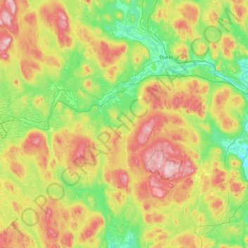
Name: Gagnefs kommun topographic map, elevation, terrain.
Location: Gagnefs kommun, Dalarna County, Sweden (60.27526 14.53587 60.63812 15.30286)
Average elevation: 271 m
Minimum elevation: 135 m
Maximum elevation: 508 m
Thank you for supporting this site ❤️
Make a donation
Make a donation
Other topographic maps
Click on a map to view its topography, its elevation and its terrain.