
Thank you for supporting this site ❤️
Make a donation
Make a donation
Llanbister topographic map
Click on the map to display elevation.
Thank you for supporting this site ❤️
Make a donation
Make a donation
About this map
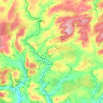
Name: Llanbister topographic map, elevation, terrain.
Location: Llanbister, Powys, Wales, United Kingdom (52.32195 -3.34887 52.40484 -3.19370)
Average elevation: 353 m
Minimum elevation: 223 m
Maximum elevation: 525 m
Thank you for supporting this site ❤️
Make a donation
Make a donation
Other topographic maps
Click on a map to view its topography, its elevation and its terrain.