
Thank you for supporting this site ❤️
Make a donation
Make a donation
Gärstad topographic map
Click on the map to display elevation.
Thank you for supporting this site ❤️
Make a donation
Make a donation
About this map
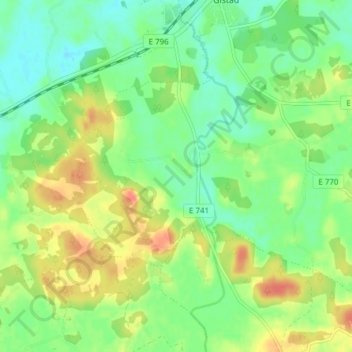
Name: Gärstad topographic map, elevation, terrain.
Location: Gärstad, Gistad, Linköpings kommun, Östergötlands län, Zweden (58.42678 15.86381 58.46678 15.90381)
Average elevation: 63 m
Minimum elevation: 44 m
Maximum elevation: 89 m
Thank you for supporting this site ❤️
Make a donation
Make a donation
Other topographic maps
Click on a map to view its topography, its elevation and its terrain.