
Thank you for supporting this site ❤️
Make a donation
Make a donation
Château de Schoeneck topographic map
Click on the map to display elevation.
Thank you for supporting this site ❤️
Make a donation
Make a donation
Château de Schoeneck
Le château est construit sur une barre rocheuse à 380 m d'altitude et à 2,6 km au nord-est de Dambach, dans le département français du Bas-Rhin.
Thank you for supporting this site ❤️
Make a donation
Make a donation
About this map
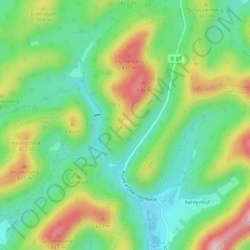
Name: Château de Schoeneck topographic map, elevation, terrain.
Average elevation: 312 m
Minimum elevation: 224 m
Maximum elevation: 457 m
Thank you for supporting this site ❤️
Make a donation
Make a donation