
Thank you for supporting this site ❤️
Make a donation
Make a donation
Rötviken topographic map
Click on the map to display elevation.
Thank you for supporting this site ❤️
Make a donation
Make a donation
About this map
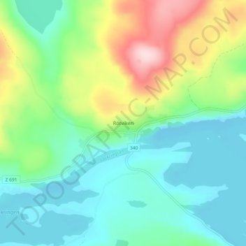
Name: Rötviken topographic map, elevation, terrain.
Location: Rötviken, Krokoms kommun, Jämtland len, Sverige (63.95507 14.14009 63.99507 14.18009)
Average elevation: 391 m
Minimum elevation: 312 m
Maximum elevation: 586 m
Thank you for supporting this site ❤️
Make a donation
Make a donation