
Ritthem topographic map
Interactive map
Click on the map to display elevation.
About this map
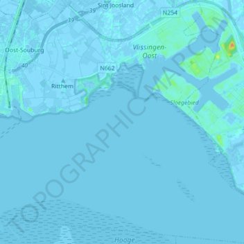
Name: Ritthem topographic map, elevation, terrain.
Location: Ritthem, Vlissingen, Zeeland, Netherlands, The Netherlands (51.39461 3.60167 51.48228 3.73803)
Average elevation: 0 m
Minimum elevation: -6 m
Maximum elevation: 28 m