
Thank you for supporting this site ❤️
Make a donation
Make a donation
Maglasäte by topographic map
Click on the map to display elevation.
Thank you for supporting this site ❤️
Make a donation
Make a donation
About this map
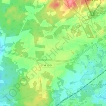
Name: Maglasäte by topographic map, elevation, terrain.
Location: Maglasäte by, Höör, Höörs kommun, Skåne län, 243 36, Sverige (55.92276 13.48455 55.96276 13.52455)
Average elevation: 92 m
Minimum elevation: 65 m
Maximum elevation: 143 m
Thank you for supporting this site ❤️
Make a donation
Make a donation