
Thank you for supporting this site ❤️
Make a donation
Make a donation
Monte Cervati topographic map
Click on the map to display elevation.
Thank you for supporting this site ❤️
Make a donation
Make a donation
About this map
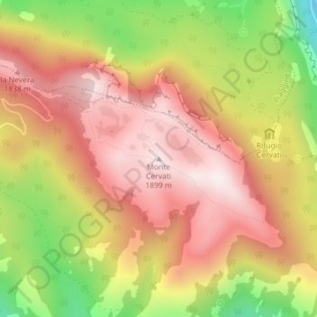
Name: Monte Cervati topographic map, elevation, terrain.
Location: Monte Cervati, Sanza, Salerno, Campania, Italy (40.28485 15.48360 40.28495 15.48370)
Average elevation: 1,622 m
Minimum elevation: 1,223 m
Maximum elevation: 1,894 m
Thank you for supporting this site ❤️
Make a donation
Make a donation