
Thank you for supporting this site ❤️
Make a donation
Make a donation
Wattegama topographic map
Click on the map to display elevation.
Thank you for supporting this site ❤️
Make a donation
Make a donation
About this map
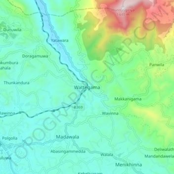
Name: Wattegama topographic map, elevation, terrain.
Location: Wattegama, Kandy District, Central Province, 20810, Sri Lanka (7.31132 80.64259 7.39132 80.72259)
Average elevation: 631 m
Minimum elevation: 384 m
Maximum elevation: 1,469 m
Thank you for supporting this site ❤️
Make a donation
Make a donation