
Thank you for supporting this site ❤️
Make a donation
Make a donation
Skövlemon topographic map
Click on the map to display elevation.
Thank you for supporting this site ❤️
Make a donation
Make a donation
About this map
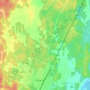
Name: Skövlemon topographic map, elevation, terrain.
Location: Skövlemon, Alvesta kommun, Kronobergs län, Zweden (56.78285 14.43556 56.82285 14.47556)
Average elevation: 164 m
Minimum elevation: 143 m
Maximum elevation: 188 m
Thank you for supporting this site ❤️
Make a donation
Make a donation
Other topographic maps
Click on a map to view its topography, its elevation and its terrain.