
Thank you for supporting this site ❤️
Make a donation
Make a donation
Rød topographic map
Click on the map to display elevation.
Thank you for supporting this site ❤️
Make a donation
Make a donation
About this map
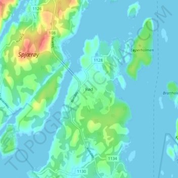
Name: Rød topographic map, elevation, terrain.
Location: Rød, Hvaler, Викен, 1684, Норвегия (59.05423 10.92222 59.09423 10.96222)
Average elevation: 11 m
Minimum elevation: -2 m
Maximum elevation: 63 m
Thank you for supporting this site ❤️
Make a donation
Make a donation
Other topographic maps
Click on a map to view its topography, its elevation and its terrain.