
Thank you for supporting this site ❤️
Make a donation
Make a donation
Mount Ogden topographic map
Click on the map to display elevation.
Thank you for supporting this site ❤️
Make a donation
Make a donation
About this map
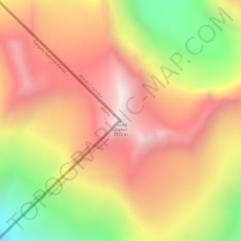
Name: Mount Ogden topographic map, elevation, terrain.
Location: Mount Ogden, Juneau, Alaska, United States (58.43050 -133.37735 58.43060 -133.37725)
Average elevation: 1,702 m
Minimum elevation: 970 m
Maximum elevation: 2,233 m
Thank you for supporting this site ❤️
Make a donation
Make a donation
Other topographic maps
Click on a map to view its topography, its elevation and its terrain.