
Thank you for supporting this site ❤️
Make a donation
Make a donation
Mabul Island topographic map
Click on the map to display elevation.
Thank you for supporting this site ❤️
Make a donation
Make a donation
About this map
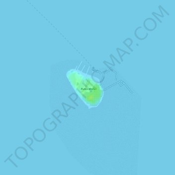
Name: Mabul Island topographic map, elevation, terrain.
Location: Mabul Island, Semporna, Tawau Division, Sabah, Malaysia (4.24271 118.62787 4.24888 118.63371)
Average elevation: 0 m
Minimum elevation: 0 m
Maximum elevation: 11 m
Thank you for supporting this site ❤️
Make a donation
Make a donation