
Thank you for supporting this site ❤️
Make a donation
Make a donation
Klórarin topographic map
Click on the map to display elevation.
Thank you for supporting this site ❤️
Make a donation
Make a donation
About this map
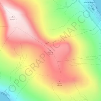
Name: Klórarin topographic map, elevation, terrain.
Location: Klórarin, Innan Glyvur, Eysturoyar sýsla, 494, Færøerne (62.13490 -6.79387 62.13500 -6.79377)
Average elevation: 329 m
Minimum elevation: -1 m
Maximum elevation: 608 m
Thank you for supporting this site ❤️
Make a donation
Make a donation