
Thank you for supporting this site ❤️
Make a donation
Make a donation
Zinacantán topographic map
Click on the map to display elevation.
Thank you for supporting this site ❤️
Make a donation
Make a donation
About this map
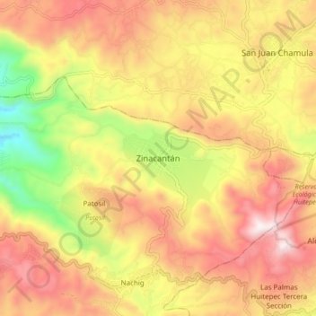
Name: Zinacantán topographic map, elevation, terrain.
Location: Zinacantán, Chiapas, 29350, Messico (16.72041 -92.76179 16.80041 -92.68179)
Average elevation: 2,299 m
Minimum elevation: 1,756 m
Maximum elevation: 2,733 m
Thank you for supporting this site ❤️
Make a donation
Make a donation