
Thank you for supporting this site ❤️
Make a donation
Make a donation
La Tiñosa topographic map
Click on the map to display elevation.
Thank you for supporting this site ❤️
Make a donation
Make a donation
About this map
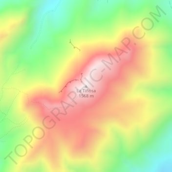
Name: La Tiñosa topographic map, elevation, terrain.
Location: La Tiñosa, Priego de Córdoba, Córdoba, Andalucía, España (37.38468 -4.24117 37.38478 -4.24107)
Average elevation: 1,193 m
Minimum elevation: 823 m
Maximum elevation: 1,559 m
Thank you for supporting this site ❤️
Make a donation
Make a donation