
Thank you for supporting this site ❤️
Make a donation
Make a donation
Hardré topographic map
Click on the map to display elevation.
Thank you for supporting this site ❤️
Make a donation
Make a donation
About this map
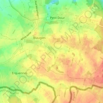
Name: Hardré topographic map, elevation, terrain.
Location: Hardré, Blaugies, Dour, Mons, Hainaut, Wallonie, 7370, Belgique (50.34735 3.79284 50.38735 3.83284)
Average elevation: 132 m
Minimum elevation: 105 m
Maximum elevation: 149 m
Thank you for supporting this site ❤️
Make a donation
Make a donation