
Andria topographic map
Interactive map
Click on the map to display elevation.
About this map
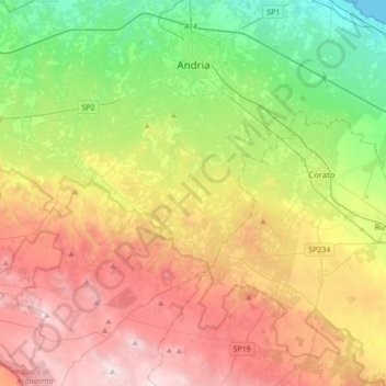
Name: Andria topographic map, elevation, terrain.
Location: Andria, BT, Apulia, Italy (41.00957 16.08490 41.27243 16.36434)
Average elevation: 293 m
Minimum elevation: 0 m
Maximum elevation: 680 m