
Thank you for supporting this site ❤️
Make a donation
Make a donation
Bosc de Tarterès topographic map
Click on the map to display elevation.
Thank you for supporting this site ❤️
Make a donation
Make a donation
About this map
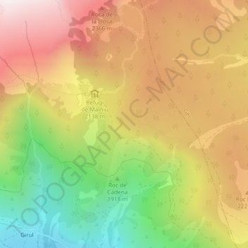
Name: Bosc de Tarterès topographic map, elevation, terrain.
Location: Bosc de Tarterès, Meranges, Cerdaña, Gerona, España (42.45103 1.78031 42.47103 1.80031)
Average elevation: 2,090 m
Minimum elevation: 1,539 m
Maximum elevation: 2,587 m
Thank you for supporting this site ❤️
Make a donation
Make a donation