
Thank you for supporting this site ❤️
Make a donation
Make a donation
Tönning topographic map
Click on the map to display elevation.
Thank you for supporting this site ❤️
Make a donation
Make a donation
About this map
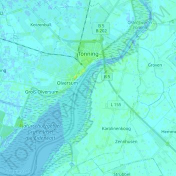
Name: Tönning topographic map, elevation, terrain.
Location: Tönning, Northern Friesland, Schleswig-Holstein, 25832, Germany (54.26060 8.82231 54.34420 8.96542)
Average elevation: 2 m
Minimum elevation: -3 m
Maximum elevation: 12 m
Thank you for supporting this site ❤️
Make a donation
Make a donation
Other topographic maps
Click on a map to view its topography, its elevation and its terrain.