
Thank you for supporting this site ❤️
Make a donation
Make a donation
Moraro / Morâr topographic map
Click on the map to display elevation.
Thank you for supporting this site ❤️
Make a donation
Make a donation
About this map
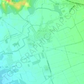
Name: Moraro / Morâr topographic map, elevation, terrain.
Average elevation: 43 m
Minimum elevation: 33 m
Maximum elevation: 70 m
Thank you for supporting this site ❤️
Make a donation
Make a donation
Other topographic maps
Click on a map to view its topography, its elevation and its terrain.
Zegla / Ceglo
Italy > Friuli – Venezia Giulia > Gorizia / Gurize / Gorica > Cormons / Cormòns / Krmin
Average elevation: 85 m