
Thank you for supporting this site ❤️
Make a donation
Make a donation
Tepeören topographic map
Click on the map to display elevation.
Thank you for supporting this site ❤️
Make a donation
Make a donation
About this map
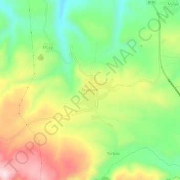
Name: Tepeören topographic map, elevation, terrain.
Location: Tepeören, Vezirköprü, Samsun, Black Sea Region, Turkey (41.04407 35.45737 41.08407 35.49737)
Average elevation: 713 m
Minimum elevation: 538 m
Maximum elevation: 941 m
Thank you for supporting this site ❤️
Make a donation
Make a donation