
Thank you for supporting this site ❤️
Make a donation
Make a donation
Flathead County topographic map
Click on the map to display elevation.
Thank you for supporting this site ❤️
Make a donation
Make a donation
About this map
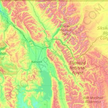
Name: Flathead County topographic map, elevation, terrain.
Location: Flathead County, Montana, United States (47.59632 -115.02084 49.00111 -112.88567)
Average elevation: 1,497 m
Minimum elevation: 802 m
Maximum elevation: 3,117 m
Thank you for supporting this site ❤️
Make a donation
Make a donation