
Thank you for supporting this site ❤️
Make a donation
Make a donation
Ljusdals kommun topographic map
Click on the map to display elevation.
Thank you for supporting this site ❤️
Make a donation
Make a donation
About this map
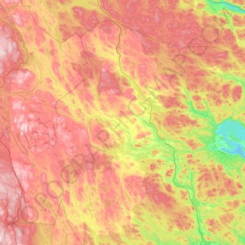
Name: Ljusdals kommun topographic map, elevation, terrain.
Location: Ljusdals kommun, Gävleborg County, Sweden (61.48410 14.44665 62.34351 16.63282)
Average elevation: 315 m
Minimum elevation: 38 m
Maximum elevation: 714 m
Thank you for supporting this site ❤️
Make a donation
Make a donation