
Thank you for supporting this site ❤️
Make a donation
Make a donation
Mount Wudang topographic map
Click on the map to display elevation.
Thank you for supporting this site ❤️
Make a donation
Make a donation
Mount Wudang
Modern maps show the elevation of the highest of the peaks in the Wudang Shan "proper" as 1612 meters; however, the entire Wudangshan range has somewhat higher elevations elsewhere.
Thank you for supporting this site ❤️
Make a donation
Make a donation
About this map
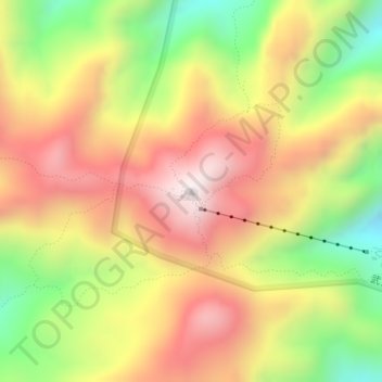
Name: Mount Wudang topographic map, elevation, terrain.
Location: Mount Wudang, Danjiangkou City, Shiyan, Hubei, China (32.40071 111.00440 32.40081 111.00450)
Average elevation: 1,172 m
Minimum elevation: 755 m
Maximum elevation: 1,534 m
Thank you for supporting this site ❤️
Make a donation
Make a donation
Other topographic maps
Click on a map to view its topography, its elevation and its terrain.