
Thank you for supporting this site ❤️
Make a donation
Make a donation
Åliden topographic map
Click on the map to display elevation.
Thank you for supporting this site ❤️
Make a donation
Make a donation
About this map
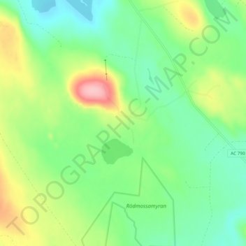
Name: Åliden topographic map, elevation, terrain.
Location: Åliden, Malå sameby, Norsjö kommun, Västerbottens län, Sverige (64.83542 19.44809 64.87542 19.48809)
Average elevation: 334 m
Minimum elevation: 287 m
Maximum elevation: 426 m
Thank you for supporting this site ❤️
Make a donation
Make a donation