
Thank you for supporting this site ❤️
Make a donation
Make a donation
Velika Planina topographic map
Click on the map to display elevation.
Thank you for supporting this site ❤️
Make a donation
Make a donation
Velika Planina
Velika Planina (pronounced [ˈʋéːlika plaˈnìːna] pronunciation; literally 'big pasture') is a dispersed high-elevation settlement of mostly herders' dwellings on the karst Big Pasture Plateau in the Kamnik Alps in Upper Carniola region of Slovenia.
Thank you for supporting this site ❤️
Make a donation
Make a donation
About this map
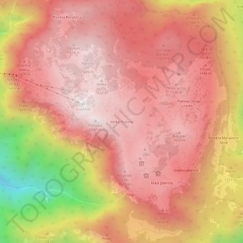
Name: Velika Planina topographic map, elevation, terrain.
Location: Velika Planina, Kamnik, Upravna Enota Kamnik, 1242, Slovenia (46.27594 14.63201 46.31594 14.67201)
Average elevation: 1,306 m
Minimum elevation: 527 m
Maximum elevation: 1,659 m
Thank you for supporting this site ❤️
Make a donation
Make a donation