
Portage topographic map
Interactive map
Click on the map to display elevation.
About this map
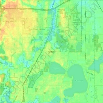
Name: Portage topographic map, elevation, terrain.
Location: Portage, Kalamazoo County, Michigan, USA (42.15735 -85.64861 42.24528 -85.52825)
Average elevation: 266 m
Minimum elevation: 251 m
Maximum elevation: 286 m