
Thank you for supporting this site ❤️
Make a donation
Make a donation
Snældansfjall topographic map
Click on the map to display elevation.
Thank you for supporting this site ❤️
Make a donation
Make a donation
About this map
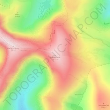
Name: Snældansfjall topographic map, elevation, terrain.
Location: Snældansfjall, Bøur, Vága sýsla, 386, Færøerne (62.10504 -7.35298 62.10514 -7.35288)
Average elevation: 400 m
Minimum elevation: 133 m
Maximum elevation: 622 m
Thank you for supporting this site ❤️
Make a donation
Make a donation