
Thank you for supporting this site ❤️
Make a donation
Make a donation
Lubin topographic map
Click on the map to display elevation.
Thank you for supporting this site ❤️
Make a donation
Make a donation
About this map
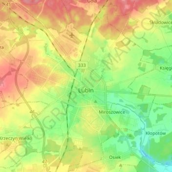
Name: Lubin topographic map, elevation, terrain.
Location: Lubin, Lubin County, Lower Silesian Voivodeship, Poland (51.35897 16.12963 51.43987 16.25825)
Average elevation: 141 m
Minimum elevation: 105 m
Maximum elevation: 179 m
Thank you for supporting this site ❤️
Make a donation
Make a donation