
Thank you for supporting this site ❤️
Make a donation
Make a donation
Gadderås topographic map
Click on the map to display elevation.
Thank you for supporting this site ❤️
Make a donation
Make a donation
About this map
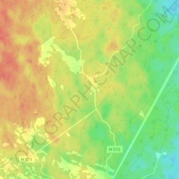
Name: Gadderås topographic map, elevation, terrain.
Location: Gadderås, Nybro kommun, Kalmar län, 382 72, Sverige (56.84140 15.79380 56.88140 15.83380)
Average elevation: 148 m
Minimum elevation: 124 m
Maximum elevation: 166 m
Thank you for supporting this site ❤️
Make a donation
Make a donation
Other topographic maps
Click on a map to view its topography, its elevation and its terrain.