
Thank you for supporting this site ❤️
Make a donation
Make a donation
Cortenoever topographic map
Click on the map to display elevation.
Thank you for supporting this site ❤️
Make a donation
Make a donation
About this map
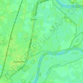
Name: Cortenoever topographic map, elevation, terrain.
Location: Cortenoever, Brummen, Gelderland, Netherlands, 6971, Netherlands (52.07708 6.15460 52.11708 6.19460)
Average elevation: 9 m
Minimum elevation: 3 m
Maximum elevation: 13 m
Thank you for supporting this site ❤️
Make a donation
Make a donation