
Thank you for supporting this site ❤️
Make a donation
Make a donation
Los topographic map
Click on the map to display elevation.
Thank you for supporting this site ❤️
Make a donation
Make a donation
About this map
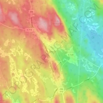
Name: Los topographic map, elevation, terrain.
Location: Los, Ljusdals kommun, Gävleborg County, 827 70, Sweden (61.71651 15.14921 61.75651 15.18921)
Average elevation: 388 m
Minimum elevation: 314 m
Maximum elevation: 463 m
Thank you for supporting this site ❤️
Make a donation
Make a donation
Other topographic maps
Click on a map to view its topography, its elevation and its terrain.