
Thank you for supporting this site ❤️
Make a donation
Make a donation
Los Rosales topographic map
Click on the map to display elevation.
Thank you for supporting this site ❤️
Make a donation
Make a donation
About this map
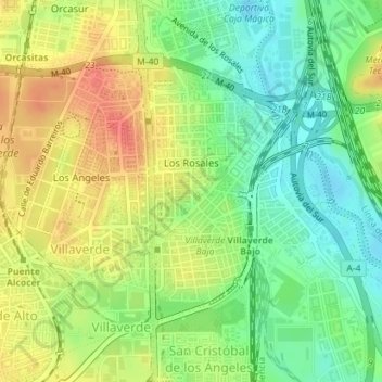
Name: Los Rosales topographic map, elevation, terrain.
Location: Los Rosales, Villaverde, Madrid, Community of Madrid, Spain (40.34582 -3.69396 40.36452 -3.68097)
Average elevation: 586 m
Minimum elevation: 560 m
Maximum elevation: 615 m
Thank you for supporting this site ❤️
Make a donation
Make a donation
Other topographic maps
Click on a map to view its topography, its elevation and its terrain.