
Charleston topographic map
Interactive map
Click on the map to display elevation.
About this map
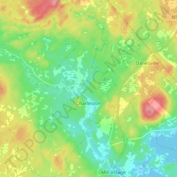
Name: Charleston topographic map, elevation, terrain.
Average elevation: 35 m
Minimum elevation: -3 m
Maximum elevation: 98 m
Other topographic maps
Click on a map to view its topography, its elevation and its terrain.
Mill Village
Canada > Nova Scotia > Queens County
Mill Village, Region of Queens Municipality, Queens County, Nova Scotia, B0J 2H0, Canada
Average elevation: 28 m