
Thank you for supporting this site ❤️
Make a donation
Make a donation
Waterton Park topographic map
Click on the map to display elevation.
Thank you for supporting this site ❤️
Make a donation
Make a donation
Waterton Park
It is located at the southwestern terminus of Highway 5, approximately 54 kilometres (34 mi) west of the Town of Cardston and 55 kilometres (34 mi) south of the Town of Pincher Creek. This hamlet is north of Glacier National Park in Montana. It has an elevation of 1,280 metres (4,200 ft).
Thank you for supporting this site ❤️
Make a donation
Make a donation
About this map
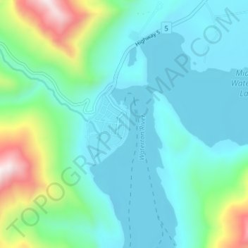
Name: Waterton Park topographic map, elevation, terrain.
Location: Waterton Park, Division No. 3, Alberta, T0K 2M0, Canada (49.03092 -113.92702 49.07092 -113.88702)
Average elevation: 1,456 m
Minimum elevation: 1,269 m
Maximum elevation: 2,207 m
Thank you for supporting this site ❤️
Make a donation
Make a donation