
Thank you for supporting this site ❤️
Make a donation
Make a donation
Lindenfels topographic map
Click on the map to display elevation.
Thank you for supporting this site ❤️
Make a donation
Make a donation
About this map
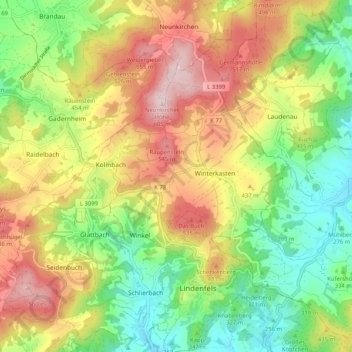
Name: Lindenfels topographic map, elevation, terrain.
Location: Lindenfels, Kreis Bergstraße, Hesse, 64678, Germany (49.67187 8.72340 49.73836 8.80715)
Average elevation: 389 m
Minimum elevation: 216 m
Maximum elevation: 607 m
Thank you for supporting this site ❤️
Make a donation
Make a donation