
Thank you for supporting this site ❤️
Make a donation
Make a donation
İlemin topographic map
Click on the map to display elevation.
Thank you for supporting this site ❤️
Make a donation
Make a donation
About this map
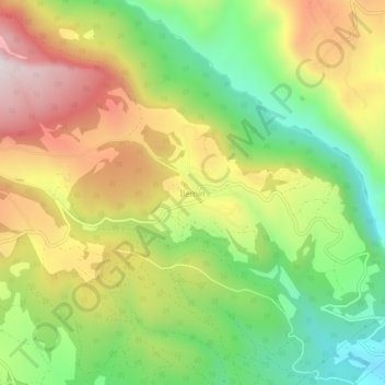
Name: İlemin topographic map, elevation, terrain.
Location: İlemin, Erdemli, Mersin, Mediterranean Region, Turkey (36.71293 34.29296 36.75293 34.33296)
Average elevation: 583 m
Minimum elevation: 232 m
Maximum elevation: 1,000 m
Thank you for supporting this site ❤️
Make a donation
Make a donation