
Thank you for supporting this site ❤️
Make a donation
Make a donation
Älgesta topographic map
Click on the map to display elevation.
Thank you for supporting this site ❤️
Make a donation
Make a donation
About this map
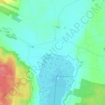
Name: Älgesta topographic map, elevation, terrain.
Location: Älgesta, Örebro, Örebro kommun, Örebro län, Sverige (59.31618 15.02402 59.35618 15.06402)
Average elevation: 54 m
Minimum elevation: 37 m
Maximum elevation: 109 m
Thank you for supporting this site ❤️
Make a donation
Make a donation
Other topographic maps
Click on a map to view its topography, its elevation and its terrain.