
Thank you for supporting this site ❤️
Make a donation
Make a donation
Peñafiel topographic map
Click on the map to display elevation.
Thank you for supporting this site ❤️
Make a donation
Make a donation
About this map
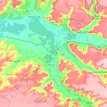
Name: Peñafiel topographic map, elevation, terrain.
Location: Peñafiel, Valladolid, Castile and León, 47300, Spain (41.54976 -4.22444 41.64233 -4.04123)
Average elevation: 824 m
Minimum elevation: 730 m
Maximum elevation: 923 m
Thank you for supporting this site ❤️
Make a donation
Make a donation
Other topographic maps
Click on a map to view its topography, its elevation and its terrain.
Thank you for supporting this site ❤️
Make a donation
Make a donation
Thank you for supporting this site ❤️
Make a donation
Make a donation