
Thank you for supporting this site ❤️
Make a donation
Make a donation
Ménaka topographic map
Click on the map to display elevation.
Thank you for supporting this site ❤️
Make a donation
Make a donation
About this map
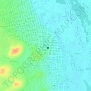
Name: Ménaka topographic map, elevation, terrain.
Location: Ménaka, Mali (15.91665 2.39995 15.91675 2.40005)
Average elevation: 280 m
Minimum elevation: 268 m
Maximum elevation: 312 m
Thank you for supporting this site ❤️
Make a donation
Make a donation