
Drăgănești de Vede topographic map
Interactive map
Click on the map to display elevation.
About this map
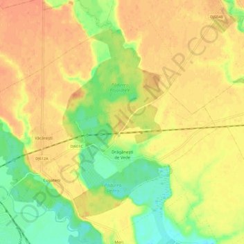
Name: Drăgănești de Vede topographic map, elevation, terrain.
Location: Drăgănești de Vede, Teleorman, Romania (44.10885 24.98942 44.17018 25.09923)
Average elevation: 97 m
Minimum elevation: 73 m
Maximum elevation: 112 m