
Thank you for supporting this site ❤️
Make a donation
Make a donation
Ullared topographic map
Click on the map to display elevation.
Thank you for supporting this site ❤️
Make a donation
Make a donation
About this map
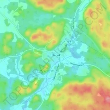
Name: Ullared topographic map, elevation, terrain.
Location: Ullared, Falkenbergs kommun, Halland County, 311 60, Sweden (57.11610 12.69558 57.15610 12.73558)
Average elevation: 97 m
Minimum elevation: 62 m
Maximum elevation: 176 m
Thank you for supporting this site ❤️
Make a donation
Make a donation
Other topographic maps
Click on a map to view its topography, its elevation and its terrain.
Thank you for supporting this site ❤️
Make a donation
Make a donation
Thank you for supporting this site ❤️
Make a donation
Make a donation