
Thank you for supporting this site ❤️
Make a donation
Make a donation
Höchst topographic map
Click on the map to display elevation.
Thank you for supporting this site ❤️
Make a donation
Make a donation
About this map
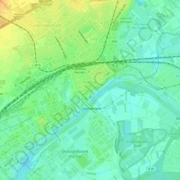
Name: Höchst topographic map, elevation, terrain.
Location: Höchst, West, Frankfurt, Hesse, Germany (50.08076 8.51357 50.11520 8.56684)
Average elevation: 101 m
Minimum elevation: 88 m
Maximum elevation: 122 m
Thank you for supporting this site ❤️
Make a donation
Make a donation
Other topographic maps
Click on a map to view its topography, its elevation and its terrain.