
Batu Apoi topographic map
Interactive map
Click on the map to display elevation.
About this map
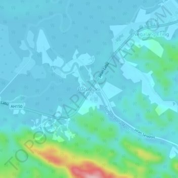
Name: Batu Apoi topographic map, elevation, terrain.
Location: Batu Apoi, Temburong District, Brunei (4.69465 115.09108 4.73465 115.13108)
Average elevation: 25 m
Minimum elevation: 0 m
Maximum elevation: 192 m