
Andagua topographic map
Interactive map
Click on the map to display elevation.
About this map
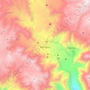
Name: Andagua topographic map, elevation, terrain.
Location: Andagua, Provincia de Castilla, Arequipa, Perú (-15.60932 -72.52652 -15.37606 -72.23244)
Average elevation: 4,142 m
Minimum elevation: 2,291 m
Maximum elevation: 5,405 m