
Mandailing Natal topographic map
Interactive map
Click on the map to display elevation.
About this map
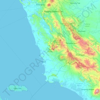
Name: Mandailing Natal topographic map, elevation, terrain.
Location: Mandailing Natal, North Sumatra, 22919, Indonesia (0.16062 98.34510 1.32946 99.96487)
Average elevation: 235 m
Minimum elevation: -2 m
Maximum elevation: 2,810 m
Other topographic maps
Click on a map to view its topography, its elevation and its terrain.