
Tchepelare topographic map
Interactive map
Click on the map to display elevation.
About this map
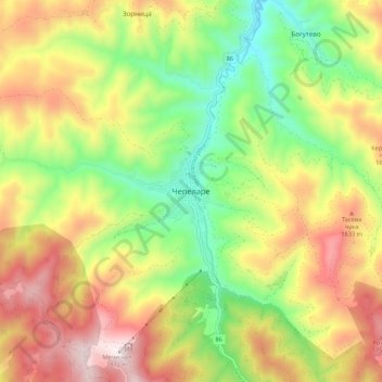
Name: Tchepelare topographic map, elevation, terrain.
Location: Tchepelare, Чепеларе, Oblast de Smolyan, 4850, Bulgarie (41.68566 24.64531 41.76566 24.72531)
Average elevation: 1,398 m
Minimum elevation: 998 m
Maximum elevation: 1,873 m