
The Indians topographic map
Interactive map
Click on the map to display elevation.
About this map
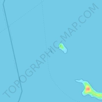
Name: The Indians topographic map, elevation, terrain.
Location: The Indians, Road Town, British Virgin Islands (18.33133 -64.62902 18.33216 -64.62865)
Average elevation: 0 m
Minimum elevation: 0 m
Maximum elevation: 56 m